GeoRiskServices

Geo Risk Services

  • Home
  • Services
    • Coastline
    • Climate
      • US Temperature
      • US Precipitation
    • Faultlines
    • Watch & Warnings
    • Wild Fires
    • Hurricanes
    • Flood Hazards
Get Started

United States Geospatial APIs

  • United States Geospatial APIs, US Geospatial Climate Data Services

    US Precipitation by Date Range Service

    support@georiskservices.com
    December 5, 2024

    How to Use the US Precipitation Date Range API The US Precipitation Date Range API…

  • United States Geospatial APIs, US Geospatial Climate Data Services

    US Temperature by Date Range Service

    support@georiskservices.com
    December 5, 2024

    How to Use the US Precipitation Date Range API The US Precipitation Date Range API…

  • United States Geospatial APIs, US Geospatial Risk Services

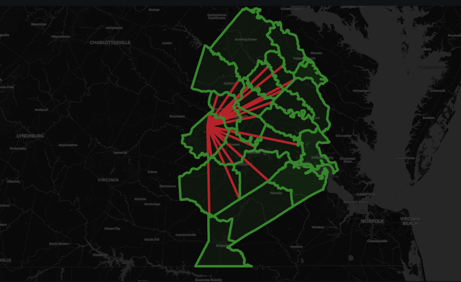
    US Distance to Flood Hazard

    support@georiskservices.com
    December 5, 2024

    The US Distance to Coast API by GeoRiskServices.com allows you to calculate the distance of…

  • Geospatial as a Service – GaaS
    Geospatial as a Service, United States Geospatial APIs

    Geospatial as a Service – GaaS

    support@georiskservices.com
    November 17, 2024

    Geospatial as a Service Discover the advantages of using Geospatial as a Service. Embracing an…

  • United States Geospatial APIs, US Geospatial Risk Services

    US Distance to Historic Hurricane

    support@georiskservices.com
    November 17, 2024

    The US Distance to Wild Fire API by GeoRiskServices.com allows you to calculate the distance…

  • United States Geospatial APIs, US Geospatial Risk Services

    US Distance to Watches Warnings

    support@georiskservices.com
    November 17, 2024

    The US Distance to Wild Fire API by GeoRiskServices.com allows you to calculate the distance…

  • United States Geospatial APIs, US Geospatial Risk Services

    US Distance to Wild Fire by Year

    support@georiskservices.com
    November 17, 2024

    The US Distance to Wild Fire API by GeoRiskServices.com allows you to calculate the distance…

  • United States Geospatial APIs, US Geospatial Risk Services

    US Distance to Fault Line

    support@georiskservices.com
    November 17, 2024

    The US Distance to Fault Line API by GeoRiskServices.com allows you to calculate the distance…

  • United States Geospatial APIs, US Geospatial Risk Services

    US Distance to Coast API

    support@georiskservices.com
    November 17, 2024

    The US Distance to Coast API by GeoRiskServices.com allows you to calculate the distance of…

Geo Risk Services

Geo Risk Services a fully owned entity of Newby Digital Enterprises LLC creates API Services in the geospatial domain pertaining to risk, agriculture, logistics, and personal safety.

  • LinkedIn
  • X

Quick Links

  • About Us
  • Terms and Conditions
  • Blog

Services

  • Geospatial API Services
  • Geospatial Consulting Services

Contact Us

  • support@georiskservices.com

© Newby Digital Enterprises LLC – All Rights Reserved

Scroll to Top